
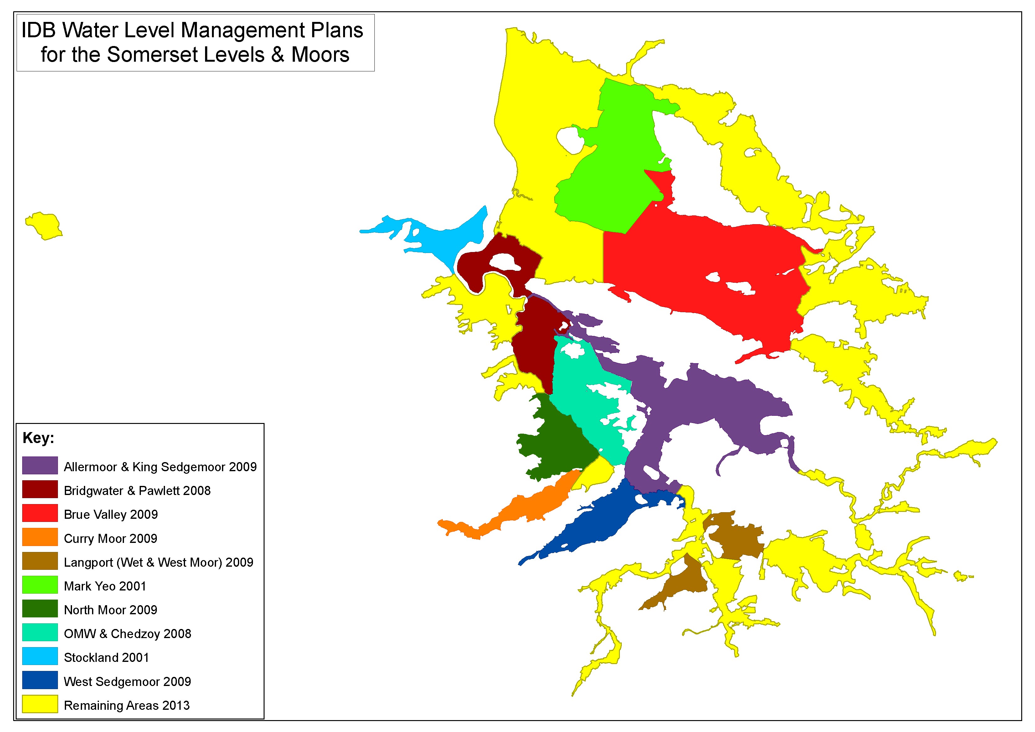
The Somerset Drainage Boards have prepared Water Level Management Plans for all protected wetland sites on the Somerset Levels to help conserve the natural and historic environment of the Levels. These Plans provide details and current operational practices for each area and set out a series of actions needed to sustain the special features of the Somerset Levels.
Downloads of WLMPs and Maps
| Curry Moor | ||
|
North Moor & Salt Moor |
||
|
King’s Sedgemoor & Aller Moor |
||
|
West Moor |
||
|
Wet Moor |
||
|
South Drain |
||
|
North Drain |
||
|
West Sedgemoor |
||
|
Othery, Middlezoy, |
||
|
Bridgwater & Pawlett |
BW &Pawlett WLMP maps Nov09 |