Map of Parrett Board area, for a more detailed map visit our map page.
History
The Parrett Internal Drainage Board was formed in 2005 as a result of an amalgamation of 13 Drainage Boards – Aller Moor, Bridgwater & Pawlett, Cannington & Wembdon, Chedzoy, Curry Moor, Dunster, Kings Sedgemoor & Cary Valley, Langport, Northmoor, Othery Middlezoy & Westonzoyland, Stanmoor, Stockland and West Sedgemoor.
Stockland, Bridgwater & Pawlett, Cannington & Wembdon, West Sedgemoor, Langport and Kings Sedgemoor & Cary Valley were formed under the Somersetshire Drainage Act of 1877 whilst Othery Middlezoy & Westonzoyland, Stanmoor, Curry Moor, Chedzoy North Moor and Aller Moor existed even prior to this with OMW Commissioners empowered through ‘An Act for draining…’ and the others formed under the Land Drainage Act 1861.
Stats
- Area of district: 24,607ha
- Number of water level control structures: 279
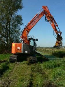
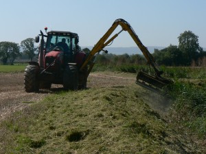
- Length of watercourses maintained: 584km
- Area of designated environmental interest (SSSI): 5,052ha
- No of homes/businesses within Board area: 10,887
- No. of Water Level Management Plans: 9


